 About us


Agriculture / Forestry
Alberding GmbH offers the following solutions for precision farming applications:
RTK service providers use Alberding Ntrip Caster software worldwide to generate and distribute RTK correction data over mobile Internet connection. The software is used by both local (< 10 users) and regional (> 1000 users) service providers through a user number dependent pricing system.
We offer several GNSS sensors (Alberding A10, Alberding A08, Trimble BX992) with antennas to generate RTK correction data. The correction data can be generated in the receiver or in the Alberding data conversion software (e.g. RTCM→CMR+).
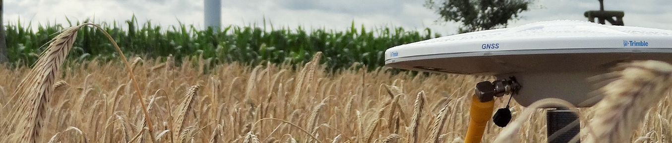
The Alberding A08-RTK and A10-RTK systems are used, among other things, for general surveying tasks and for soil sampling. Together with the AGIS field software, staking out of points and lines is supported so that boundary markers can be easily found again.
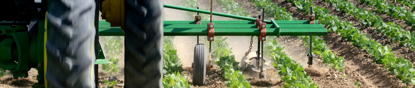
The Alberding A08-RTK and A10-RTK sensors are temporarily or permanently installed on agricultural machinery. Some applications are dynamic RTK positioning (cm), precise velocity determination of extremely slow vehicles and data transmission between machine and cloud.

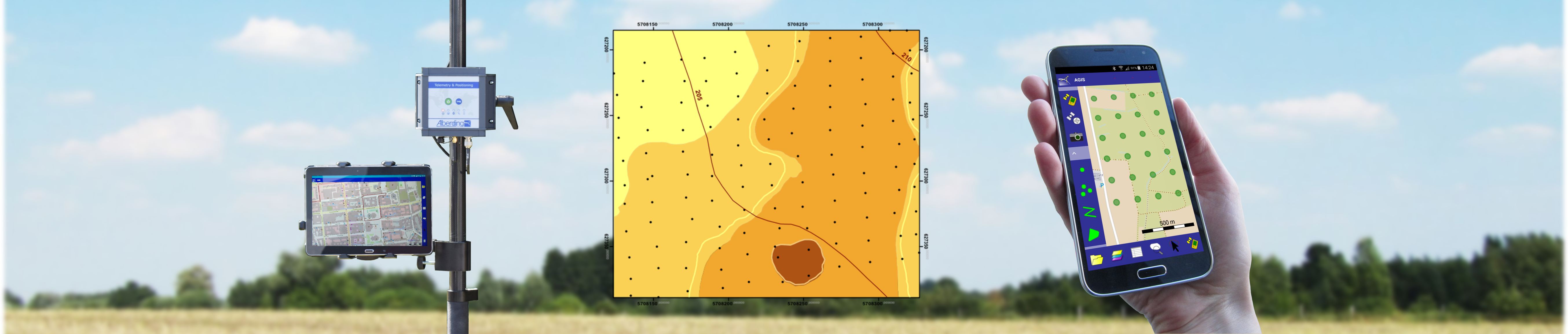
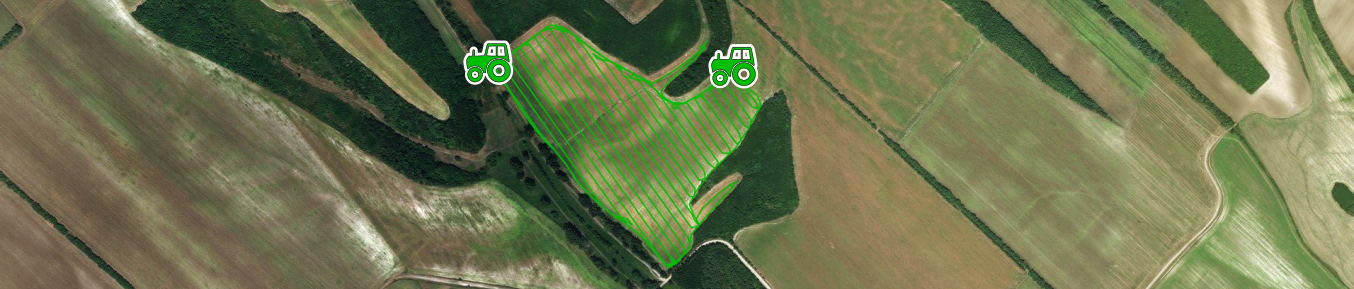
The current position data of the mobile GNSS sensors are displayed in the web interface of the Ntrip Caster software on digital maps (aerial photo, Sentinel satellite image, cadastral map). The continuous storage of these data provides centimetre-accurate tracks with precise time information.
Selected customers from agriculture and forestry:


